8 000 CZK
| 327 €
Lot 17
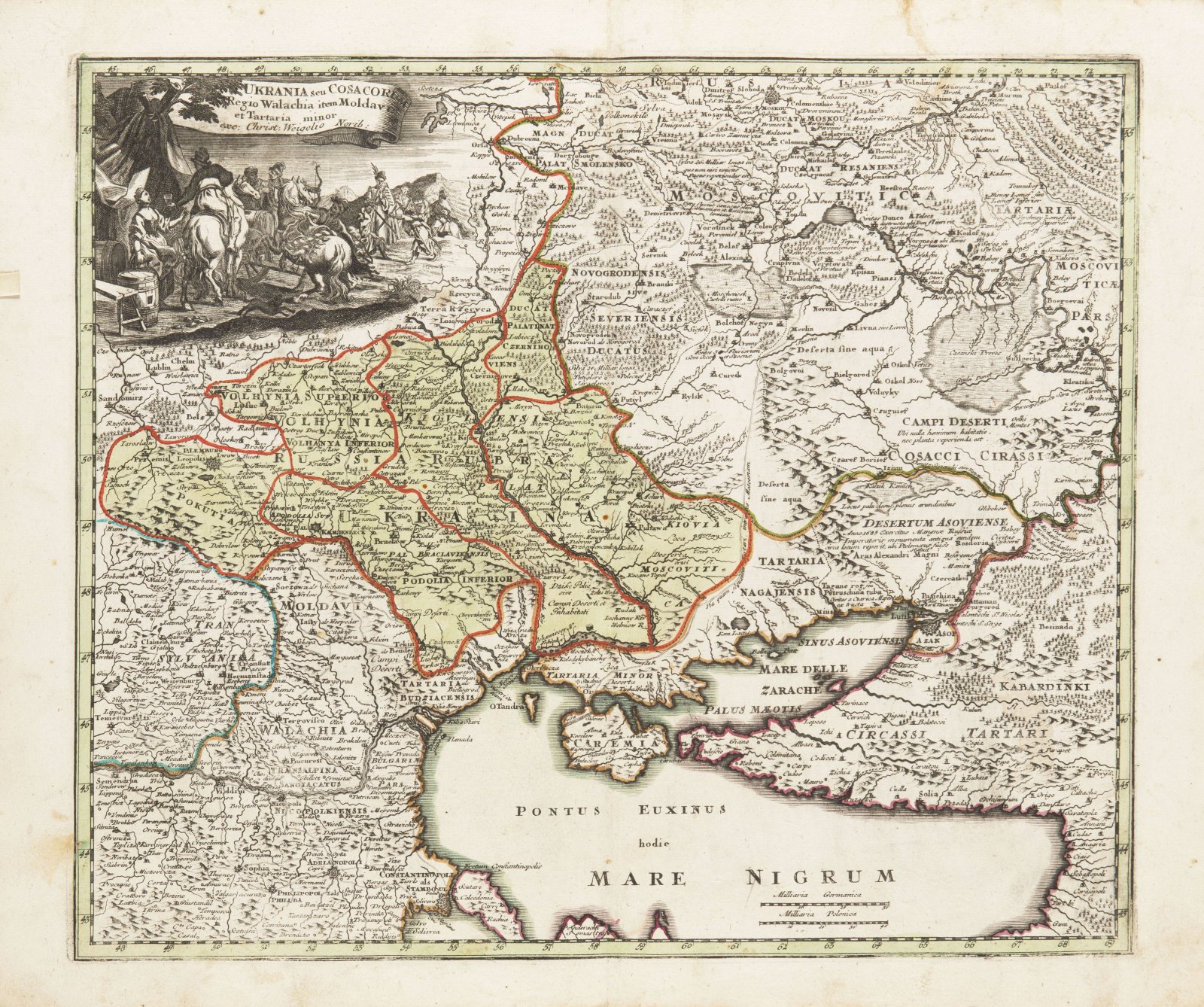
MAP OF UKRAINE AND SURROUNDINGS OF THE BLACK SEA
Around 1700
37 x 46 cm (h x w)
Starting price
Price realized
18 000 CZK
| 735 €
| 735 €
price without premium
An old copperplate map of the territory north of the Black and Azov Seas, in the west to the Eastern Balkans and south to the Bosphorus. Title in the ribbon at the top left with an equestrian scene. Below are 2 length scales. The map well demonstrates the national and territorial complexity of this area 300 years ago. The territory of Ukraine at the then border stretched along the Dnieper and did not have access to both seas and Crimea, with the exception of the Dnieper estuary at present-day Kherson.
More works from auction

Lot 1 CHRIST ON THE CROSS WITH THREE ANGELS
Starting price8 000 CZK | 327 €
Price realized
25 000 CZK | 1 020 €
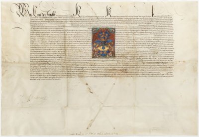
Lot 2 GRANT OF ARMS
Starting price48 000 CZK | 1 959 €
Sold

Lot 3 BIBLE
Starting price12 000 CZK | 490 €
Price realized
70 000 CZK | 2 857 €

Lot 4 AN EMBLEM AND SYMBOL BOOK
Starting price18 000 CZK | 735 €
Price realized
28 000 CZK | 1 143 €

Lot 5 CZECH CHRONICLE
Starting price15 000 CZK | 612 €
Price realized
40 000 CZK | 1 633 €

Lot 6 ALLEGORY OF PERFECT LOVE
Starting price750 000 CZK | 30 612 €
Price realized
750 000 CZK | 30 612 €

Lot 7 DIPTYCH PAINTINGS
Starting price48 000 CZK | 1 959 €

Lot 8 HOLY FAMILY
Starting price24 000 CZK | 980 €
Price realized
30 000 CZK | 1 224 €
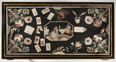
Lot 9 AN IMPORTANT BAROQUE PLAYING DESK
Starting price120 000 CZK | 4 898 €
Price realized
310 000 CZK | 12 653 €
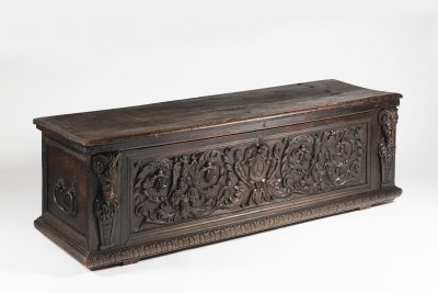
Lot 10 A MANNERIST CHEST
Starting price35 000 CZK | 1 429 €
Price realized
65 000 CZK | 2 653 €

Lot 11 A DUTCH TYPE BAROQUE CHANDELIER
Starting price18 000 CZK | 735 €
Price realized
30 000 CZK | 1 224 €
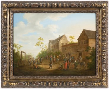
Lot 12 A VILLAGE FEAST
Starting price80 000 CZK | 3 265 €
Price realized
80 000 CZK | 3 265 €