18 000 CZK
| 720 €
Lot 106
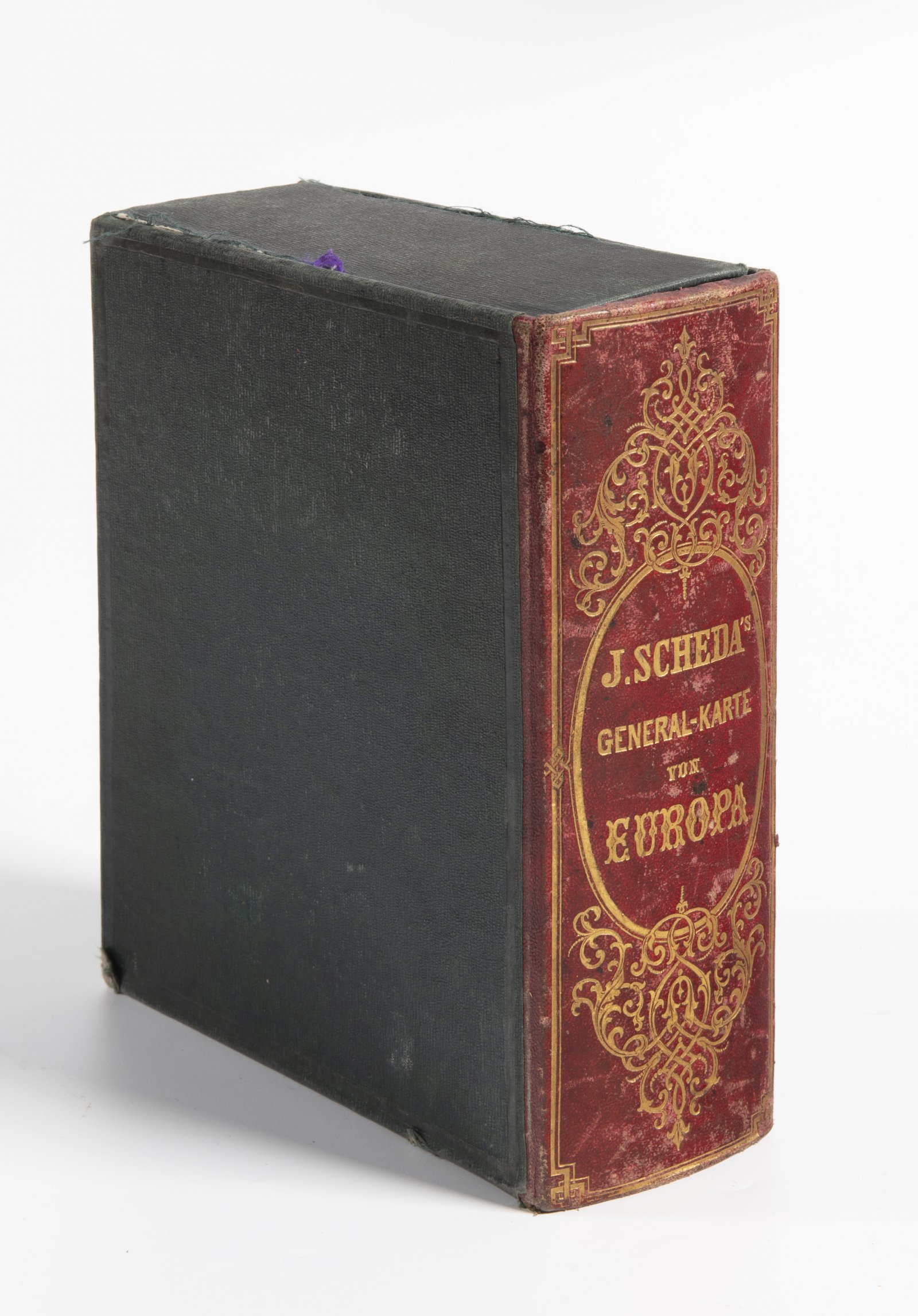
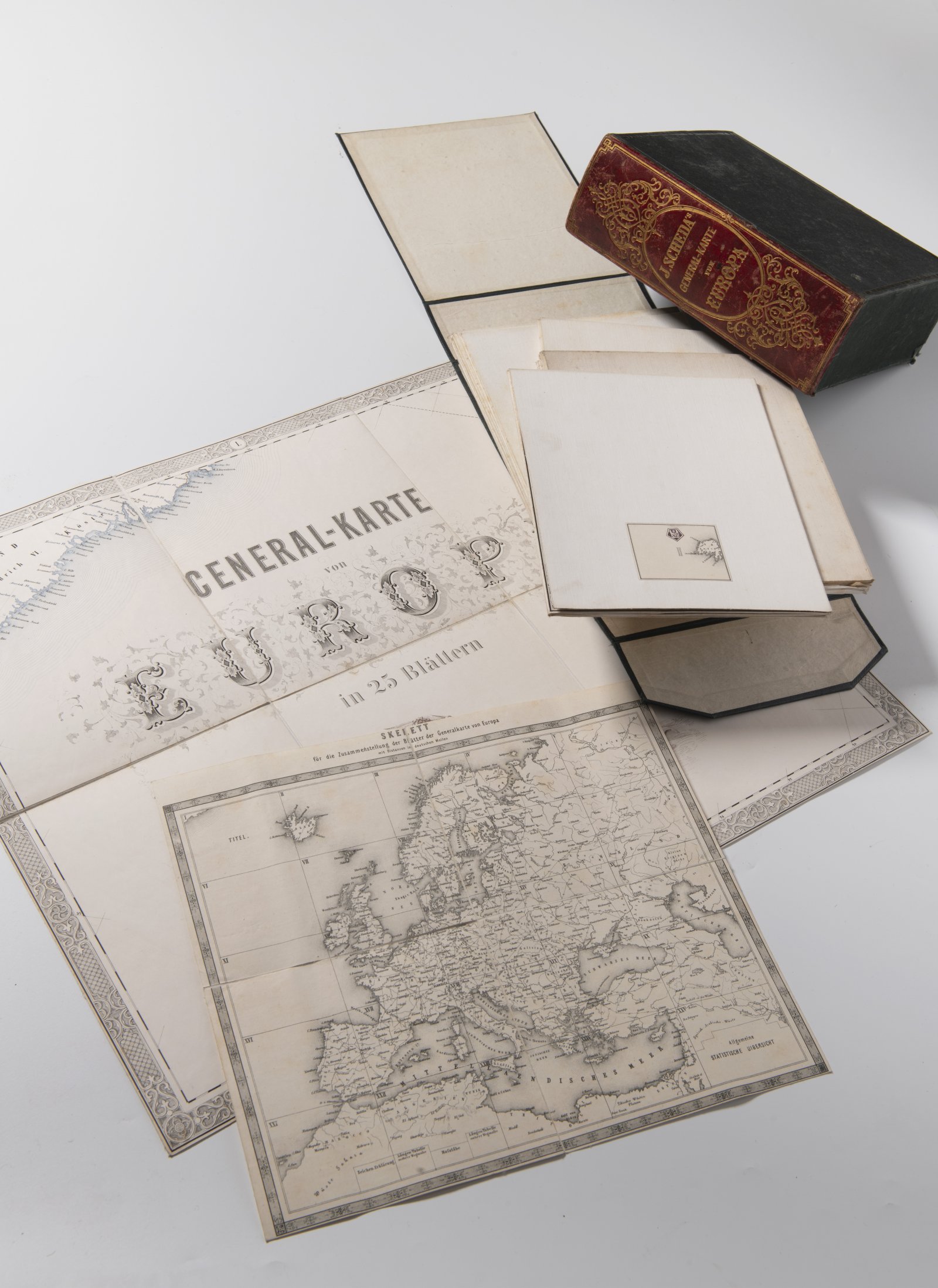
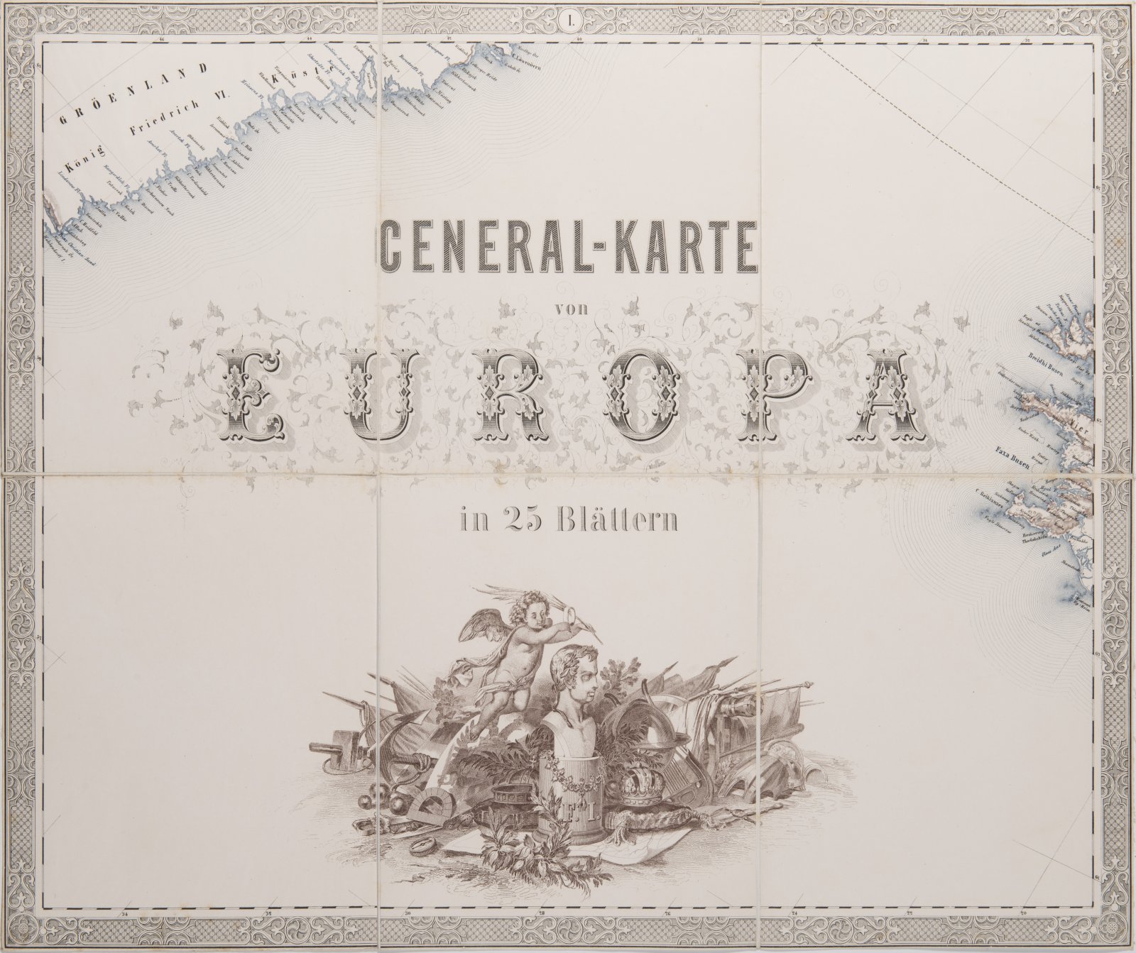
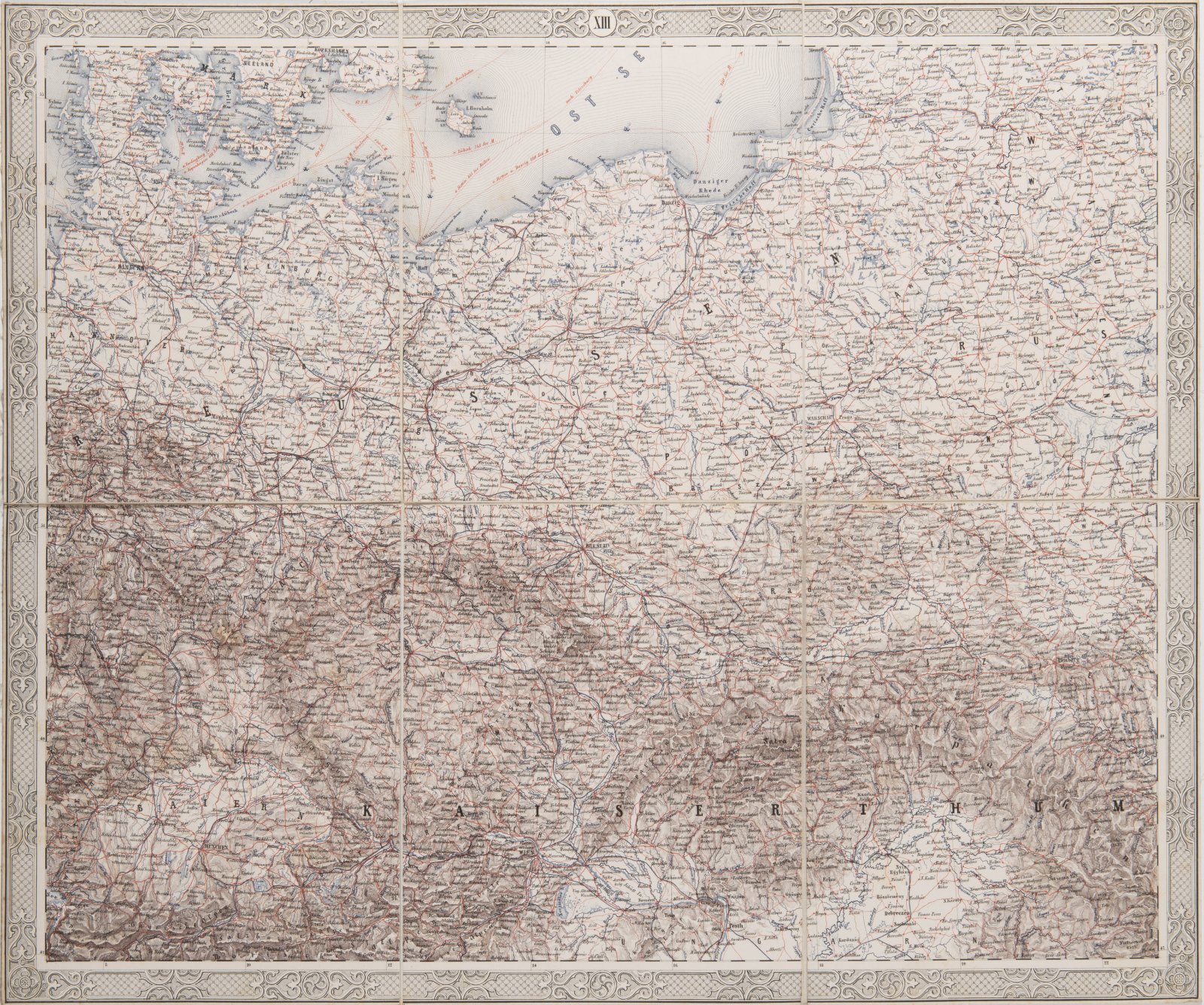
GENERAL-KARTE VON EUROPA
1859
Lithographic sheets in a case
21,5 x 18,5 x 7,5 cm (h x w x d)
Starting price
Price realized
18 000 CZK
| 720 €
| 720 €
price without premium
This famed folding “General Map of Europe” on 25 sheets is the first to feature fully colored maps of Europe. This is the revised second edition, which was edited by von Scheda himself and published in 1859. 150 color lithograph prints on 25 linen canvases (each ca. 40 x 50 cm) cover the entire European continent, including the Urals, Caspian Sea and North Africa. The entire map measures ca. 200 x 250 cm. Cartouche on sheet I and tables showing populations and military power on sheet XXV. Joseph von Scheda was a geographer and cartographer who was a Major General in the Austro-Hungarian military and led the cartography department of the Institute of Military Geography in Vienna. Individual folded maps are inserted in a case with a red spine and gilt letters on the front page.
More works from auction

Lot 1 A LATE GOTHIC MADONNA
Starting price240 000 CZK | 9 600 €
Price realized
240 000 CZK | 9 600 €

Lot 2 PIETA
Starting price220 000 CZK | 8 800 €
Price realized
230 000 CZK | 9 200 €
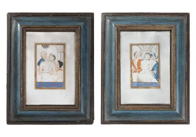
Lot 3 PAIRED PICTURES - MOCKING JESUS CHRIST
Starting price12 000 CZK | 480 €
Price realized
23 000 CZK | 920 €
Lot 4 RESURRECTION OF A CHRIST
Starting price17 000 CZK | 680 €
Price realized
30 000 CZK | 1 200 €
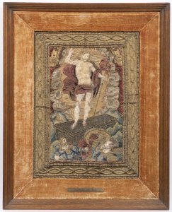
Lot 5 EARLY ROMAN AND GREEK GEOGRAPHY
Starting price24 000 CZK | 960 €
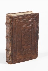
Lot 6 FOUR EARLY PRINTS OF ROMAN ANTIQUE CLASSICS
Starting price35 000 CZK | 1 400 €
Price realized
35 000 CZK | 1 400 €
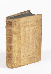
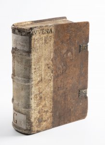
Lot 7 AMATORIA
Starting price18 000 CZK | 720 €
Price realized
18 000 CZK | 720 €
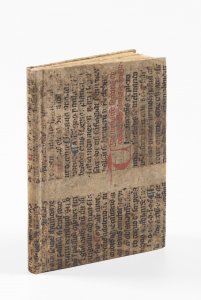
Lot 8 PRAGUE RENAISSANCE COSMOGRAPHY
Starting price48 000 CZK | 1 920 €
Sold

Lot 9 ANNUNCIATION
Starting price240 000 CZK | 9 600 €
Price realized
240 000 CZK | 9 600 €

Lot 10 EVENING LANDSCAPE WITH BRIDGE AND HUNTERS
Starting price65 000 CZK | 2 600 €
Price realized
80 000 CZK | 3 200 €
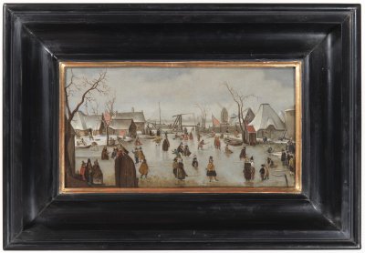
Lot 11 WINTER LANDSCAPE WITH SKATERS
Starting price45 000 CZK | 1 800 €
Price realized
85 000 CZK | 3 400 €
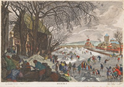
Lot 12 ALLEGORY OF WINTER
Starting price15 000 CZK | 600 €
Price realized
32 000 CZK | 1 280 €