15 000 CZK
| 600 €
Lot 67
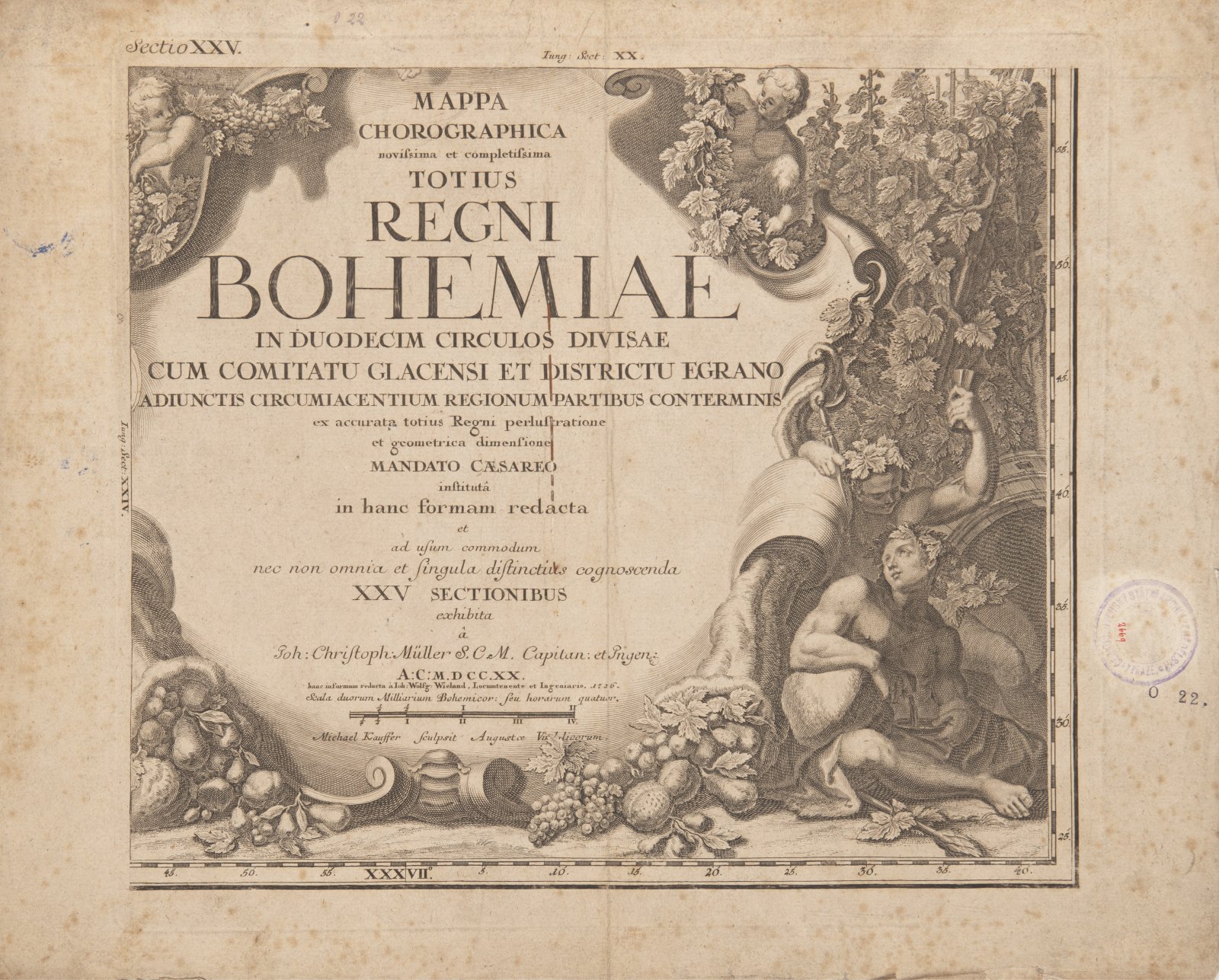
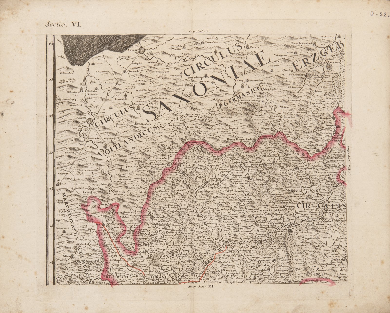
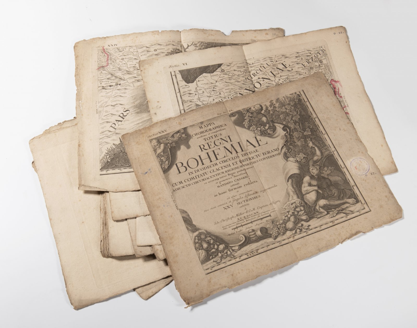
MÜLLER'S MAP OF BOHEMIA
1720
Copper engraving, paper, partially coloured
36 x 45 cm (h x w)
On the first sheet: "Joh. Christoph Müller SCM"
Starting price
Price realized
65 000 CZK
| 2 600 €
| 2 600 €
price without premium
Müller's map of Bohemia is a map by the German cartographer Jan Kryštof Müller from the year depicting Bohemia at a scale of 1: 132,000. It is the largest old map of Bohemia - it has a total of 25 sections, in this case it is a medium-sized map. It is also the last and most detailed of Müller's maps (he previously made maps of Hungary and Moravia). Müller began the mapping in 1712 in the Bechyně region and completed it in 1717. He did not live to see the map itself. The relief is shown by the hill method with shading, great attention is paid to the river network, but the greatest interest of the map is a detailed drawing of settlements and economic activities. The map also has quality artistic decoration by Václav Vavřinec Reiner.
More works from auction
Lot 1 A LATE GOTHIC MADONNA
Starting price240 000 CZK | 9 600 €
Price realized
240 000 CZK | 9 600 €
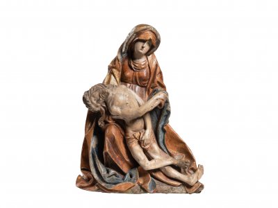
Lot 2 PIETA
Starting price220 000 CZK | 8 800 €
Price realized
230 000 CZK | 9 200 €
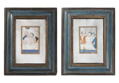
Lot 3 PAIRED PICTURES - MOCKING JESUS CHRIST
Starting price12 000 CZK | 480 €
Price realized
23 000 CZK | 920 €
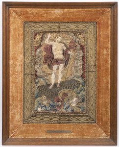
Lot 4 RESURRECTION OF A CHRIST
Starting price17 000 CZK | 680 €
Price realized
30 000 CZK | 1 200 €
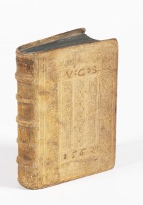
Lot 5 EARLY ROMAN AND GREEK GEOGRAPHY
Starting price24 000 CZK | 960 €
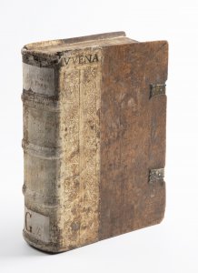
Lot 6 FOUR EARLY PRINTS OF ROMAN ANTIQUE CLASSICS
Starting price35 000 CZK | 1 400 €
Price realized
35 000 CZK | 1 400 €
Lot 7 AMATORIA
Starting price18 000 CZK | 720 €
Price realized
18 000 CZK | 720 €
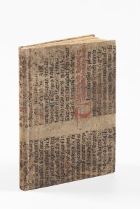
Lot 8 PRAGUE RENAISSANCE COSMOGRAPHY
Starting price48 000 CZK | 1 920 €
Sold

Lot 9 ANNUNCIATION
Starting price240 000 CZK | 9 600 €
Price realized
240 000 CZK | 9 600 €
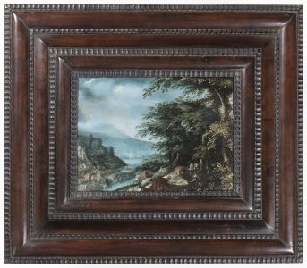
Lot 10 EVENING LANDSCAPE WITH BRIDGE AND HUNTERS
Starting price65 000 CZK | 2 600 €
Price realized
80 000 CZK | 3 200 €
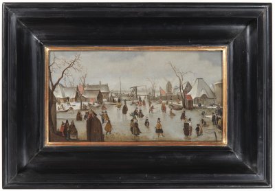
Lot 11 WINTER LANDSCAPE WITH SKATERS
Starting price45 000 CZK | 1 800 €
Price realized
85 000 CZK | 3 400 €
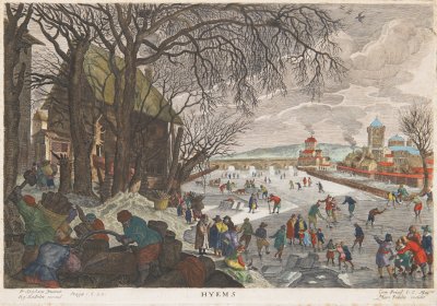
Lot 12 ALLEGORY OF WINTER
Starting price15 000 CZK | 600 €
Price realized
32 000 CZK | 1 280 €