9 000 CZK
| 367 EUR
Lot 15
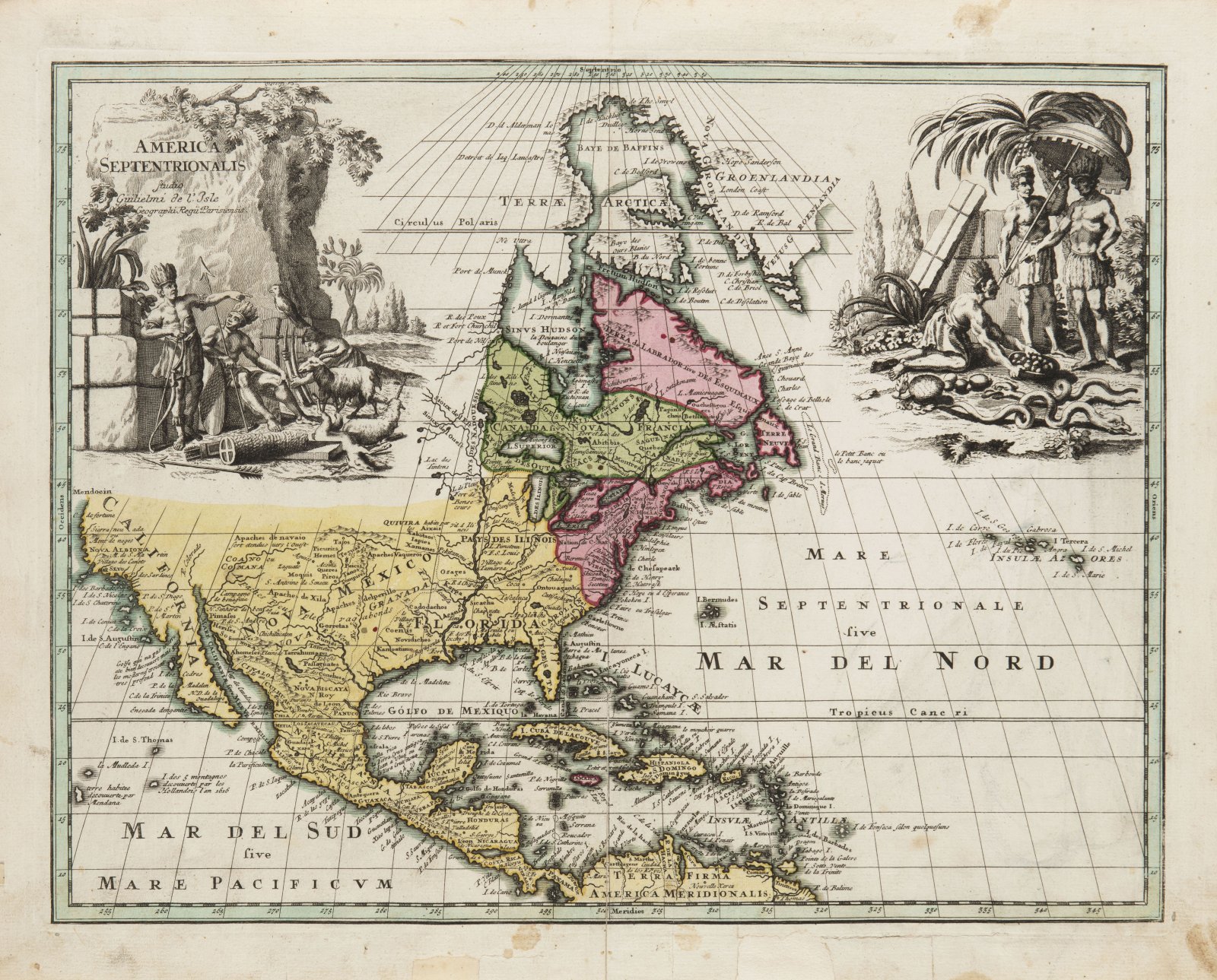
MAP OF NORTH AMERICA
um 1700
37 x 47 cm (h x b)
Rufpreis
Erzielter Preis
14 000 CZK
| 571 EUR
| 571 EUR
preis ohne Aufpreis
Rare early old colored copperplate map of North America, parts of the Arctic and southwestern Greenland, the Caribbean, Central America, the Antilles and the northern edge of South America, including Bermuda and the Atlantic Azores. The map shows the individual territories under the British (red), French (green) and Spanish (yellow) governments. In the Pacific is an interesting outline of Dutch island observations dated as early as 1616. The specimen is a typical example of the connection between the exact and decorative mission of ancient maps, the title at the top left in an engraved cartouche with Indians and an allegory of natural wealth, at the top right a second massive cartouche with ethnographic elements.
Andere Auktionsgegenstände

Lot 1 CHRIST ON THE CROSS WITH THREE ANGELS
Rufpreis8 000 CZK | 327 EUR
Erzielter Preis
25 000 CZK | 1 020 EUR
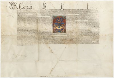
Lot 2 GRANT OF ARMS
Rufpreis48 000 CZK | 1 959 EUR
Verkauft
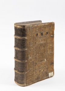
Lot 3 BIBLE
Rufpreis12 000 CZK | 490 EUR
Erzielter Preis
70 000 CZK | 2 857 EUR

Lot 4 AN EMBLEM AND SYMBOL BOOK
Rufpreis18 000 CZK | 735 EUR
Erzielter Preis
28 000 CZK | 1 143 EUR

Lot 5 CZECH CHRONICLE
Rufpreis15 000 CZK | 612 EUR
Erzielter Preis
40 000 CZK | 1 633 EUR

Lot 6 ALLEGORY OF PERFECT LOVE
Rufpreis750 000 CZK | 30 612 EUR
Erzielter Preis
750 000 CZK | 30 612 EUR

Lot 7 DIPTYCH PAINTINGS
Rufpreis48 000 CZK | 1 959 EUR

Lot 8 HOLY FAMILY
Rufpreis24 000 CZK | 980 EUR
Erzielter Preis
30 000 CZK | 1 224 EUR
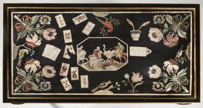
Lot 9 AN IMPORTANT BAROQUE PLAYING DESK
Rufpreis120 000 CZK | 4 898 EUR
Erzielter Preis
310 000 CZK | 12 653 EUR
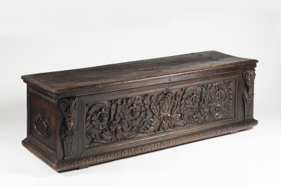
Lot 10 A MANNERIST CHEST
Rufpreis35 000 CZK | 1 429 EUR
Erzielter Preis
65 000 CZK | 2 653 EUR

Lot 11 A DUTCH TYPE BAROQUE CHANDELIER
Rufpreis18 000 CZK | 735 EUR
Erzielter Preis
30 000 CZK | 1 224 EUR

Lot 12 A VILLAGE FEAST
Rufpreis80 000 CZK | 3 265 EUR
Erzielter Preis
80 000 CZK | 3 265 EUR